Before we get closer to Christmas Day itself, we have some unsettled wet and windy weather to come. National Severe Weather Warnings for wind and rain over the weekend have now been issued.
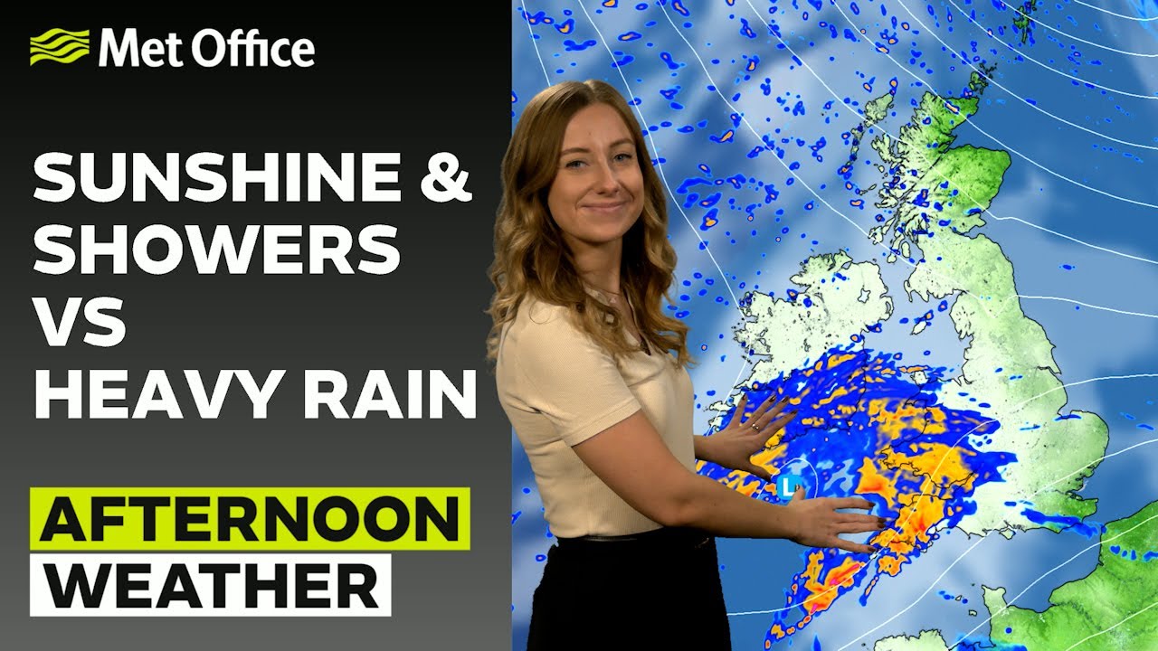
Today, strong winds in the north will ease quickly but will be followed by a further spell of rain across England and Wales during the afternoon and evening, with central and southern England likely to see the highest accumulations. It will also turn colder in the north and west, with blustery showers turning wintry over high ground.
A grey and damp afternoon for many with mostly cloudy skies and patchy rain moving eastwards 🌧️
A more organised area of heavy and persistent rain arrives in the southwest later ☔
After a mild start, it will gradually be turning colder from the north 📉 pic.twitter.com/9W8FQBu0jD
— Met Office (@metoffice) December 18, 2024
Many inland areas will see a cold, but sunny day on Thursday, with temperatures feeling chilly thanks to a brisk northwesterly breeze. Frequent showers, which may be wintry at times, are likely in central and northern Scotland, Northern Ireland, Wales and western parts of England.
After a cloudy few days, Thursday will bring plenty of blue skies ☀️
Despite the sunshine, it will be feeling rather chilly with brisk northerly winds, so wrap up warm if you plan on heading out 🧣 pic.twitter.com/w726MYvmhY
— Met Office (@metoffice) December 18, 2024
A widespread frost is possible as we wake on Friday morning, and we’ll generally see temperatures up a few degrees. A brief ridge brings a quieter day for most, with the exception of some rain driving south eastwards through the day and some showers in the southwest.
A wet and windy weekend
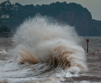
A brief window of settled weather for many overnight Friday into Saturday will be quickly pushed aside, as an area of low pressure tracks to the north of the UK bringing wet and widely windy weather.
Deputy Chief Meteorologist Dan Harris said: “A deep area of low pressure is expected to pass to the north of Scotland on Saturday, heading towards southwest Norway. Yellow wind warnings are currently in place across northern and western parts of Scotland and Northern Ireland, where there’s a small chance of gusts in excess of 80mph across parts of the Hebrides, Orkney, and parts of the north and west Scottish mainland coast. Delays or cancellations to sea and air transport are possible given these winds, amongst other impacts.
“More generally however, gusts of 60-75mph are likely and when coinciding with daytime travel in the busier pre-Christmas period, may cause some travel disruption.”
⚠️ Yellow weather warnings issued ⚠️
Strong winds across northern and western parts of Scotland and Northern Ireland
Saturday 0700 – 2100
Latest info 👉 https://t.co/QwDLMfS950
Stay #WeatherAware⚠️ pic.twitter.com/2olvGhfNGg
— Met Office (@metoffice) December 18, 2024
Rain will also move in on Saturday, with the highest accumulations in the northwest, followed by frequent heavy showers which will turn increasingly wintry on higher ground later. A covering of snow is possible for some hills and mountains as far south as the Peak District by Sunday morning.
Sunday brings a mix of sunny intervals, blustery showers, and perhaps longer spells of rain in the north. Showers will be most frequent and heavy in northern and western areas, falling as a wintry mix of sleet and snow for some. Gales are expected in exposed parts of the north and west, with windchill making temperatures feel rather cool.
Monday is likely to see another frontal system move through from the west, bringing further wind and outbreaks of rain across all parts through the day.
Turning more settled from Christmas Day
We should start to see high pressure build in from Christmas Eve, bringing a period of more settled weather for the festive period.
Dan Harris continued: “With Christmas still seven days away, we cannot yet be confident about the regional scale details, however the broad trends in the forecast come with higher than usual confidence for this lead time. Current indications are that more settled conditions are likely to develop from Christmas Eve onwards, with the majority of the UK coming under the influence of high pressure. The exception however may be northwest Scotland where there is a reasonable chance of further wind and rain.
“Christmas Day itself is likely to be settled, often cloudy, and dry with light winds for the majority. Once again, the far north may be windier, with a small chance of further rain across northwest Scotland. Temperatures are expected to be widely mild, so if you are hoping for a blanket of snow across the country on Christmas Day, I’m sorry to say you will be disappointed. We’ll be giving more details as we get closer to the day, so do keep up-to-date with the latest Met Office forecast.”
Find out more about the Met Office definition of a ‘white Christmas’.
Where to get your Met Office weather forecast
You can find the latest forecast on our website, on YouTube, by following us on X and Facebook, as well as on our mobile app which is available for iPhone from the App store and for Android from the Google Play store.


