Wednesday night saw England, Wales and Northern Ireland’s coldest night of the winter, with -11.2°C, -7.9°C and -7.3°C respectfully. -12.4°C was recorded at Tulloch Bridge in Inverness-shire, not quite as low as the winter low of -13.3°C recorded on the early hours of Monday 6 January.
Many places will see a day of dry and bright weather on Thursday, though it’ll remain widely cold. Continued snow showers are expected across northern Scotland through the day, with a yellow warning for snow and ice valid until 10:00 Friday morning.
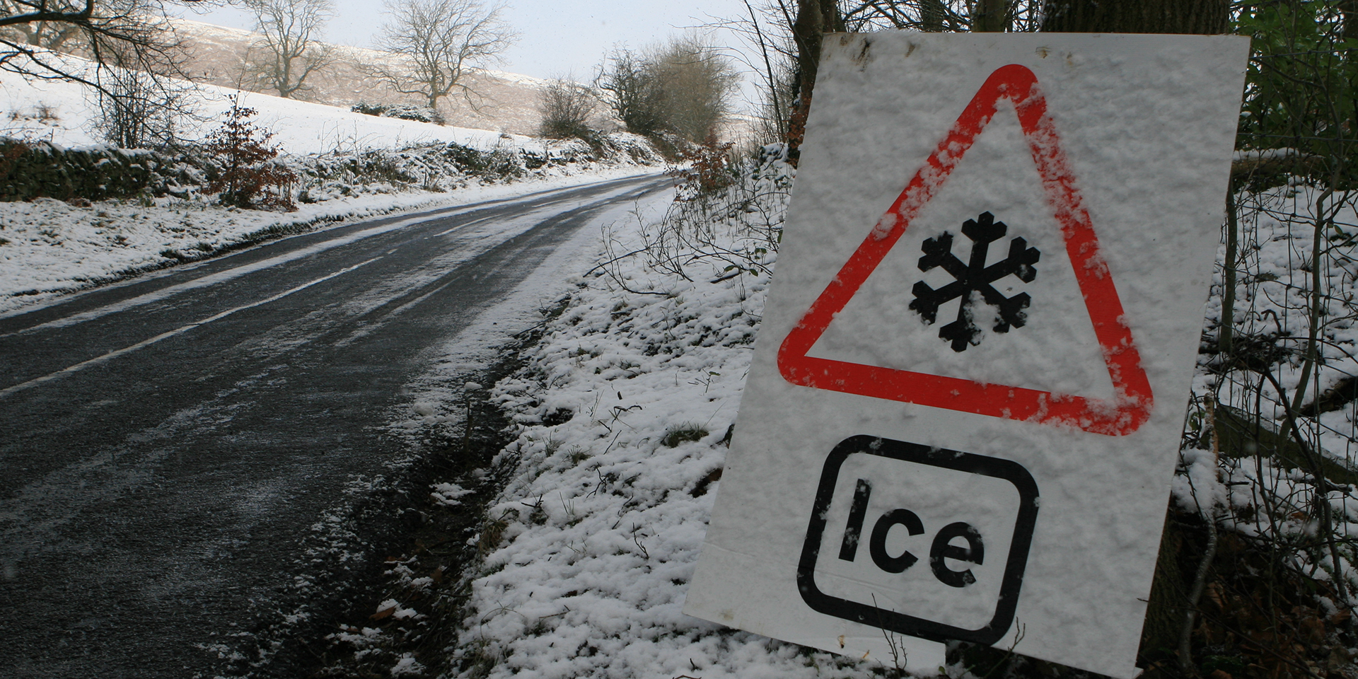
Thursday night will be another bitterly cold night, with a widespread hard frost expected across the UK. It is forecast to be the coldest night of the winter, with -16°C possible over snow cover in the Highlands of Scotland and high ground in northern England. With temperatures falling this low, the risk of ice continues. Ice warnings have been issued for southern Wales and southwest England, where rain, sleet and snow may fall onto frozen surfaces. For the rest of Wales, parts of northwest England, Northern Ireland, the east coast of England and southeast Scotland, further wintry showers are likely overnight, and yellow warnings for ice have also been issued.
Friday will see the start of a change to our weather, with milder air attempting to move in from the southwest through the morning. However, this frontal system will make only limited progress, bringing some patchy rain, sleet and snow across parts of southwest Britain. Amounts of snow are uncertain – probably small and confined to high ground, but there is a risk of icy surfaces in places. Much of the rest of the UK will have another dry and bright day but remaining very cold, with few freezing fog patches lasting all day.
Chief Meteorologist Paul Gundersen, said, “Another very cold night is expected tonight with temperatures dipping as low as -16°C where we have lying snow in Scotland and northern England. Temperatures will also be well below freezing across much of the UK so there is a continued risk of ice overnight and through Friday morning’s rush hour.
“Milder air will attempt to move into the UK from the southwest on Friday morning, heralding the end of this impactful cold spell. Increasing cloud and light rain, perhaps preceded by a little snow, will begin to affect northwestern then northern parts of the UK through the weekend. Here, temperatures will be back to around average by Sunday, and on Monday it’ll be much milder, with temperatures reaching double digits in Northern Ireland, northern England and Scotland”.
⚠️ Yellow weather warning issued ⚠️
Ice across Northern Ireland, Wales, northwest England and the Midlands
Thursday 1600 – Friday 1000
Latest info 👉 https://t.co/QwDLMfRBfs
Stay #WeatherAware⚠️ pic.twitter.com/D5grOoKFRh
— Met Office (@metoffice) January 9, 2025
Ice and snow bring travel disruption
With continued low temperatures, ice and lying snow continue to bring disruption to the transport network in parts of the UK. RAC Breakdown spokesperson Alice Simpson said: “Cold conditions will last until at least the weekend, so we urge drivers to remain vigilant of the risks posed by ice and, in some locations, snow. Black ice on rural roads can be impossible to spot, leaving very little time to react if driving at speed. Sticking to major roads that are most likely to have been gritted is strongly recommended.
“With a huge number of vehicles failing drivers in the cold, our teams are working as fast as they can to rescue our members. In fact, we’re currently seeing our highest levels of demand over a three-day period since December 2022. It’s vital motorists drive prepared for the conditions by packing a warm waterproof jacket, sturdy footwear, a flask of hot drink and a power bank to keep mobile phones charged up.”
Gradually turning milder through the weekend
A change to milder conditions is expected through the weekend, with the north of the UK first to see this while for the south the change will be slower, perhaps taking into next week before temperatures recover closer to average here.
Deputy Chief Meteorologist, Mark Sidaway, said: “On Sunday and through Monday south-westerly winds will bring some rain and much milder temperature across the northern UK. With milder temperatures and rain moving in, a rapid thaw of lying snow could cause a few issues. Further south it will remain colder and dry for longer and here freezing fog could cause some problems on Saturday.
“Looking further ahead high pressure will bring more settled conditions to most of the UK through next week, occasional fronts will glance the northwest of Scotland bringing rain at times and breezier conditions, but it will remain mild.”
You can find the latest forecast on our website, on YouTube, by following us on X and Facebook, as well as on our mobile app which is available for iPhone from the App store and for Android from the Google Play store. 


