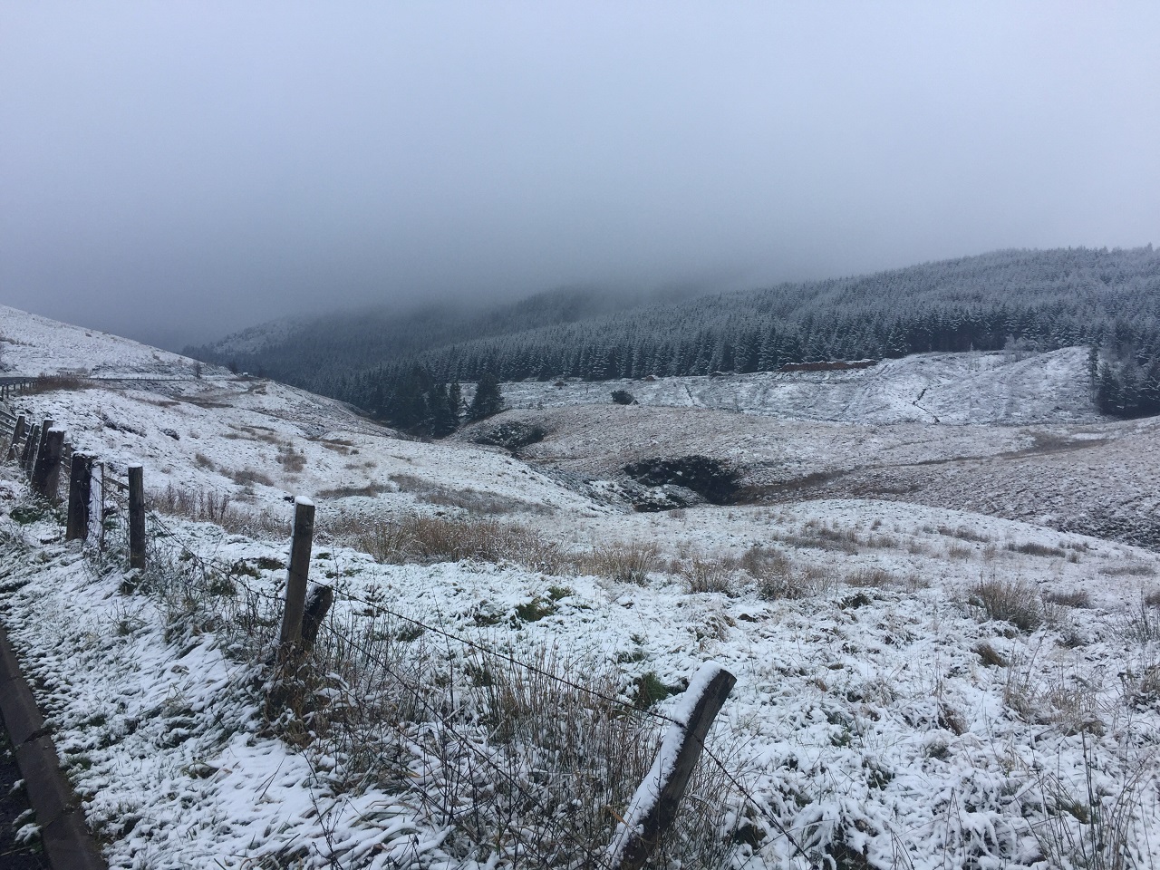
An Amber warning for snow is in place covering much of the southwest of the UK until 9pm this evening. Yellow warnings for snow and ice remain in place across parts of Scotland and Northen Ireland while a yellow warning for snow covers parts of southern England.
Met Office Chief Meteorologist, Steve Willington, said: “With low temperatures persisting across southwestern parts of England, sleet or snow will fall to low levels in parts of Devon, Cornwall, Dorset and Somerset through Wednesday afternoon and evening. At locations above 150 m, 2-5 cm is possible, but over the higher ground of Dartmoor and Exmoor up to 10 cm could accumulate. More widely across southern England, a dusting of snow, up to a couple of centimetres, is possible as the system moves eastwards. The snow could cause some disruption to the transport network during this evening’s rush hour.”
⚠️⚠️ Amber weather warning issued ⚠️⚠️
Snow across parts of Cornwall, Devon, Dorset and Somerset
NOW until 2100 today
Latest info 👉 https://t.co/QwDLMfRBfs
Stay #WeatherAware ⚠️ pic.twitter.com/yQhfolwWrM
— Met Office (@metoffice) January 8, 2025
Outlook for the rest of the week
The northly airflow will bring continued low temperatures for Thursday and Friday with snow and ice warnings likely to be issued as confidence in the areas most likely to see impacts increases.
Fronts moving in from the southwest on Friday and Saturday bring the potential for more sleet or snow, with the possibility of further warnings.
Deputy Chief Forecaster, Christoph Almond, said: “Thursday will see another cold night, with potentially the lowest temperatures of the Winter so far, -15°C – possibly -16°C is likely in locations with lying snow in Scotland or northern England.
“In the early hours of Friday, a front arriving from the west will encounter the cold air in place over the UK. This could bring further sleet or snowfall for some regions in the south and west, as well as a risk of ice for a time as it moves north-eastwards into central parts, but the extent of this is still uncertain.”
“By Sunday, milder air will have moved in across much of the UK, meaning rain is more likely than snow as we get to the end of the weekend. Northern Ireland and Western Scotland are most likely to see some showery outbreaks of rain and breezy conditions through Sunday and Monday, with conditions further south and east drier and more settled, but with some overnight fog and frost.”
Temperatures will fall into negative double figures in the coldest areas during the next few nights and a few locations may see minimum temperatures as low as minus 16 Celsius 🥶 pic.twitter.com/gHiui2CS6a
— Met Office (@metoffice) January 8, 2025
You can find the latest forecast on our website, on YouTube, by following us on X and Facebook, as well as on our mobile app which is available for iPhone from the App store and for Android from the Google Play store.


